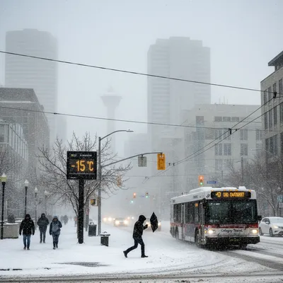
Calgary is on high alert for another blast of winter as a potent spring snowstorm is forecast to sweep through the region starting Sunday night and continuing into Monday.
Environment and Climate Change Canada (ECCC) has issued a special weather statement for the city and surrounding areas, including the Highway 1 and Highway 2 corridors. The forecast predicts widespread snowfall of 15 to 20 centimetres, with localized areas potentially seeing accumulations as high as 25 cm.
The storm is expected to begin with bands of heavy snow developing Sunday night, which will intensify and become more widespread into Monday morning, creating treacherous conditions for the morning commute. While the calendar may suggest that spring is here, many Calgarians are reminded that the season often comes with volatile weather swings.
Heavy and localized snowfall expected
According to meteorologists, the primary challenge in forecasting this storm is its localized nature. Pinpointing exactly where the heaviest snow will fall remains difficult.
"It could potentially impact Calgary or surrounding areas, but it is going to be very, very localized," says Erin Staunton, a meteorologist with ECCC. "Some areas might see kind of little to no snow, but other areas might see some very quick accumulations of heavy snow.”
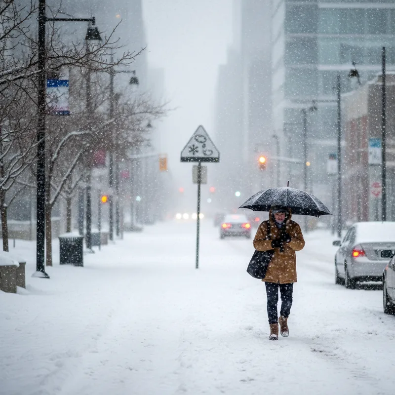
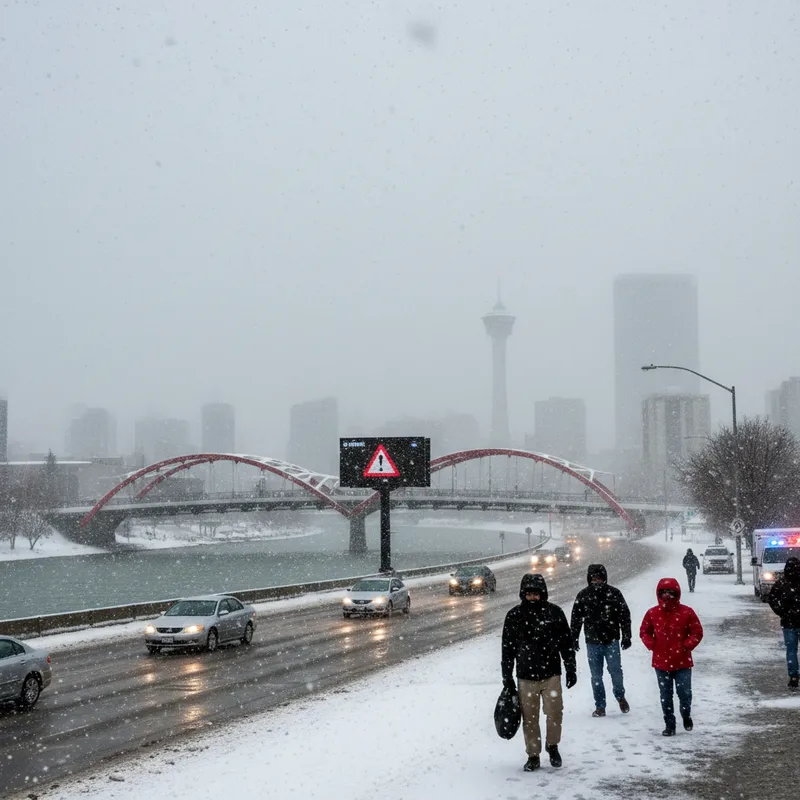
This variability means that weather conditions could change dramatically over short distances. The statement was issued to give Calgarians advance warning of the potential for rapidly accumulating snow, poor visibility, and hazardous road conditions.
Areas that do end up under those heavy snow bands could see potentially 15 to 25 centimeters if those heavy bands do linger in one area for any length of time.
City crews on standby
In response to the forecast, the City of Calgary has mobilized its road crews. In a post on X, formerly known as Twitter, Mayor Jeromy Farkas confirmed that city staff are monitoring the weather and are prepared to act.
"Crews monitor forecasts and will apply anti-icing materials on Calgary roads if needed," Farkas stated. He added that during the snowfall, the focus will be on clearing major arterial roads to ensure the city keeps moving.
The city’s snow and ice control plan prioritizes high-volume routes such as Crowchild Trail, Glenmore Trail, Macleod Trail, and Memorial Drive. Crews will also pay close attention to known trouble spots like bridges, hills, and major intersections across Calgary. This strategy aims to maintain traffic flow on the busiest routes that carry tens of thousands of vehicles daily.
Not an unusual spring welcome
While the prospect of a major snowstorm in late March may be jarring, it is not an anomaly for Calgary. The city has a long history of significant, surprise spring snowfalls, some occurring as late as May. This weather pattern is largely due to Calgary's elevation and its proximity to the Rocky Mountains, which can create unpredictable and rapidly changing conditions.
These late-season storms serve as a stark reminder of the region’s unique climate, often putting a temporary halt to springtime activities. While many are eager to enjoy the best things to do in Calgary in the spring, they must first navigate another round of winter. The current weather system also comes at a time when the city is grappling with broader climate concerns, with city council recently considering measures to address a potential summer water shortage following a winter with below-average snowpack.
The phenomenon is not isolated to Calgary, as many Canadian cities experience a prolonged transition from winter to spring. While southern Ontario might be seeing budding trees, prairie cities often contend with snow and cold well into April, a scenario that also impacts music and cultural festival planning, such as the recently announced '90s nostalgia festival in Tinley Park featuring Creed and Limp Bizkit.
Advice for Monday commuters
Officials are advising anyone who needs to travel on Monday to prepare for a difficult commute. The heaviest snowfall is expected to coincide with the morning rush hour, likely causing significant delays and dangerous driving conditions.
ECCC and local authorities urge drivers to allow for plenty of extra travel time, to drive according to the prevailing conditions, and to ensure their vehicles are completely cleared of snow before heading out. Visibility on the roads is expected to be poor.
The snow is forecast to taper off by Monday afternoon as temperatures are expected to climb into the low single-digits. However, commuters are encouraged to remain vigilant. “Be sure to drive according to conditions, and also do be aware that conditions could change quite quickly over a short distance,” Staunton says.